Workshop: Basics of GIS
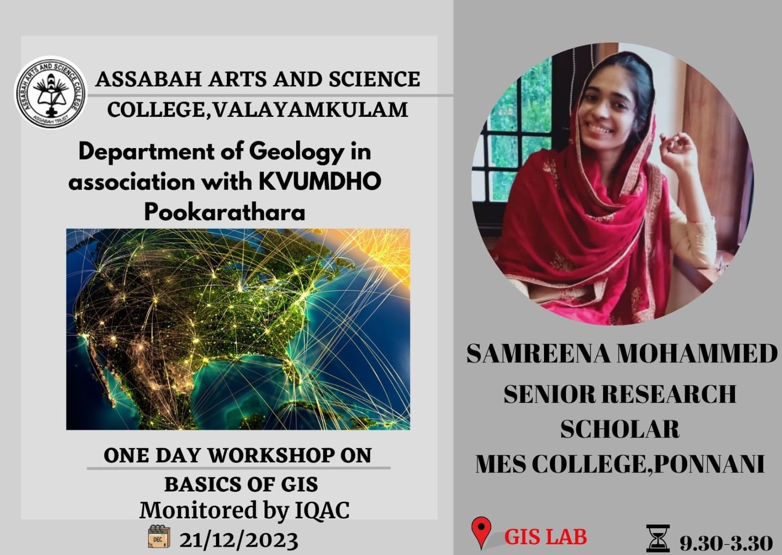
The Department of Geology conducted a comprehensive workshop on the Basics of GIS on December 21, 2023, tailored specifically for second-year Geology students. The workshop, led by Ms. Samreena Mohammed, a Senior Research Fellow at MES College Ponnani, aimed to introduce students to the fundamental concepts and practical applications of Geographic Information Systems (GIS) within the realm of geology. Covering an array of topics, the session provided an overview of GIS, emphasizing its significance in spatial data analysis and visualization, and introduced commonly used GIS software such as ArcGIS and QGIS, exploring functionalities like map creation, data manipulation, and spatial analysis. Additionally, the workshop delved into data handling, georeferencing techniques, and coordinate systems crucial for mapping geological features. Practical applications of GIS in geology, including geological mapping, mineral exploration, environmental assessment, and hazard analysis, were also explored.
The hands-on training sessions allowed students to actively engage with GIS software, performing tasks such as creating maps, importing geological data, and interpreting spatial relationships. The workshop facilitated discussions between students and facilitators, encouraging questions and exploring real-world examples of GIS applications in geological studies. The interactive nature of the sessions aimed to reinforce learning and clarify concepts.
The workshop concluded with a recap of key learnings, emphasizing GIS as a valuable tool for geologists. Students were encouraged to explore further applications of GIS in their geological studies and research projects. Overall, the workshop provided second-year geology students with a foundational understanding of GIS technology, equipped them with essential skills for spatial data analysis and mapping, and fostered a keen interest in integrating GIS into their future geological endeavors.
